|
The 2,332ft, 522m Cairnsmore of Fleet is
situated about 4 miles south of Newton
Stewart, southwest Scotland, in the county
of Dumfries & Galloway, by the A75
road.
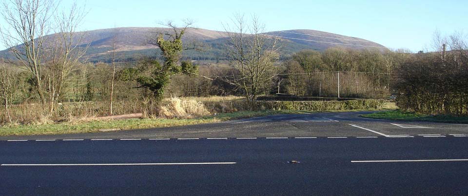
The image below is from the A75 road
looking up the Cairnsmore Estate road that
leads to the hiking car park for Cairnsmore
of Fleet hill. Cairnsmore of Fleet is the
hill on the left, and the 2,155 ft Knee of
Cairnsmore on the right.
If you are travelling down from the
north, about 4 miles south of Newton
Stewart on the A75, you will pass large
signs on the left for the Kirroughtree
Centre for biking and hiking. This road
below is the next on the left, only a few
hundred yards past the entrance to the
Kirroughtree Centre. SatNav postcode: DG8
7BA
There is a tourist trail all the way to
the top of Cairnsmore of Fleet, and an
optional, moorland trail back down over the
Knee of Cairnsmore.
For directions, use the Google Map link
below, then change Newton Stewart to your
town or post code.
Google Road Map
Directions
Newton Stewart Information &
Accommodation.
|
|
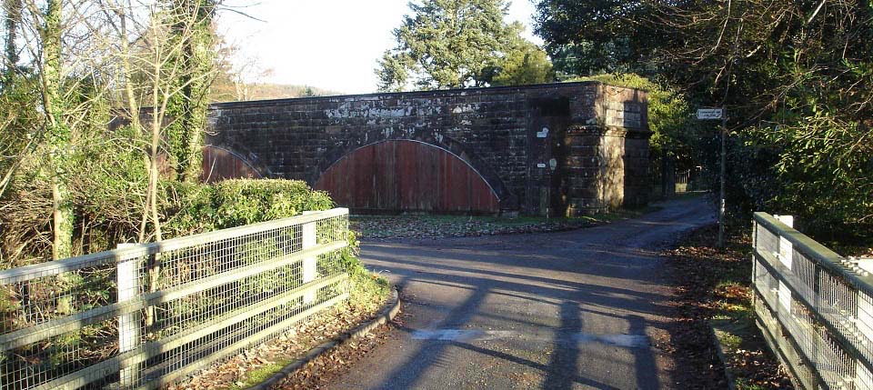
The image below is from a few hundred
yards up the estate road. This is an old
railway bridge that used to be for the
Dumfries to Stranraer line. This line
closed in 1965. The road straight ahead is
the private road for Cairnsmore House.
There are few passing places up that road
so best avoid it. The sign here points to
the road round to the left, that leads to
the new hiking car park.
|
|
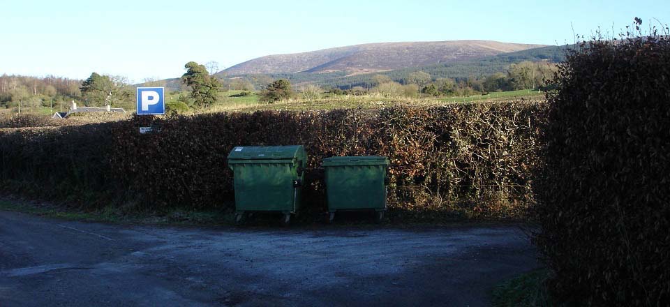
The image below is from about 200 yards
up from the railway bridge. The car parks
for hiking are along this road on the
right.
|
|
The image below is of the hiking car
parking. There are a few parking areas
along this road, probably enough for about
10 cars.
|

|
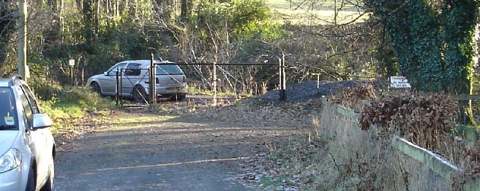
The image below is of the gate through
to the hiking trail for Cairnsmore of
Fleet. Turn left, uphill when you go
through the gate. You are then on the
Cairnsmore House road. You have to walk up
the road for about 1 mile. Close to the
top, you will pass the entrance to
Cairnsmore house.
Walking up this road, you will see there
are few passing places, that is why they do
not want a lot of cars using the road.
|
|
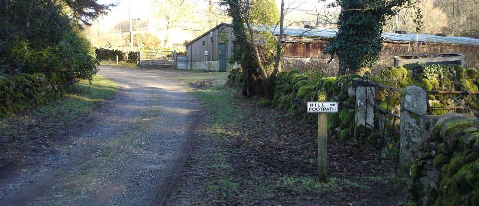
The image below is from about two
hundred yards up past Cairnsmore House
entrance, just before a large wooden shed.
The sign here leads you through
woodland.
|
|
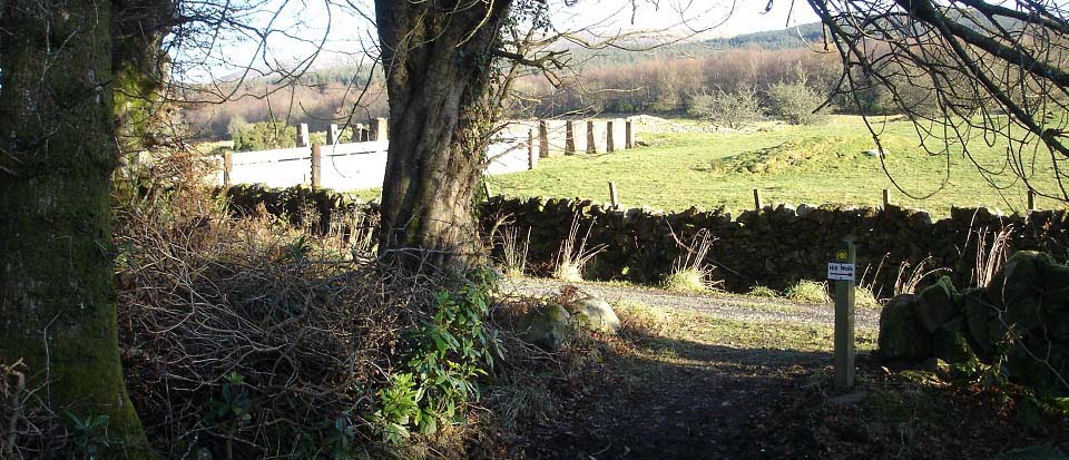
The image below is from the top side of
the woodland path. That path is only about
two hundred yards long.
The sign here points left for Cairnsmore
of Fleet. If you go right, that road leads
up through the hills to the south side of
the Knee of Cairnsmore. Take note of this
point, as you will be looking for it on the
way back down, from either hill.
|
|
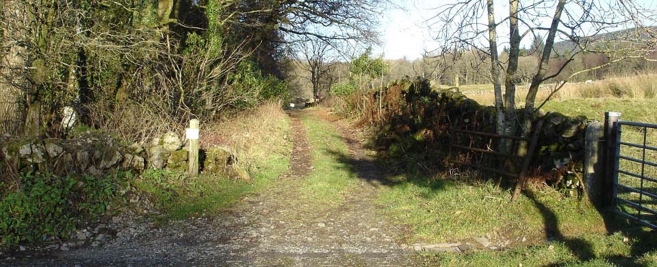
The image below is from about one
hundred yards along from the waymarker at
the woodland path. You walk down this old
road to the gate and red sign. There is a
seating area in the woodland, on the left
side down here.
This is where the old hiking car park
used to be, but the lack of passing places
on the road up to here, meant the hiking
car park was changed to lower down, by the
railway bridge.
|
|
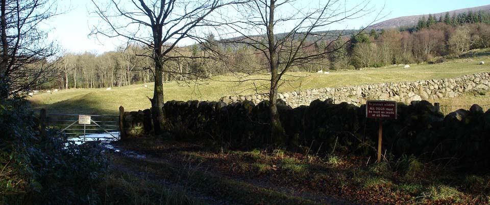
The image below is of the gate into the
field, that you have to cross to get to the
tourist trail up onto Cairnsmore of Fleet.
The red sign here states all dogs must be
kept on a lead at all times. There is also
a sign warning to beware of cows with
calfs.
|
|
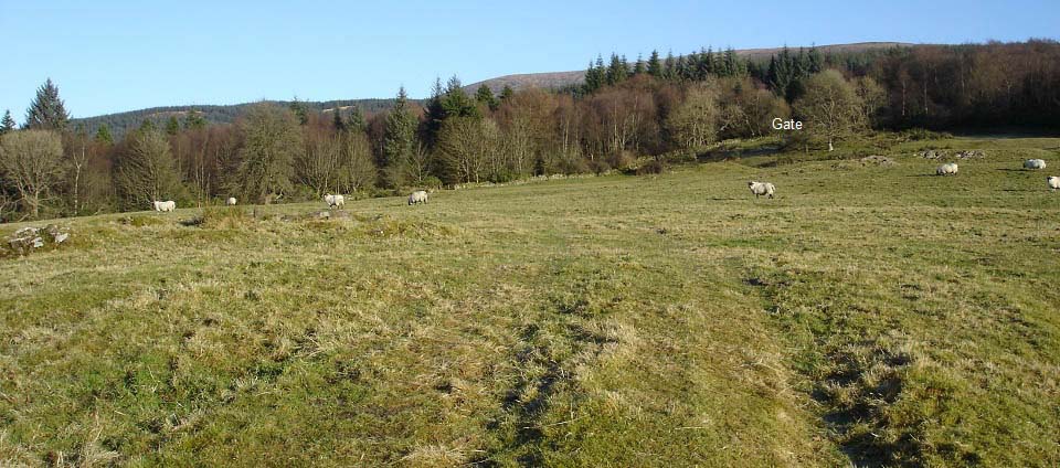
The image below is from crossing the
field to the tourist trail up through the
forest. There are two gates across here,
head for the one up to the right.
There were no cows with calfs in mid
December, so it was straight over. If there
are cows with calfs, you may have to follow
the fence round so you can hop over the
fence if needed. Cows with calfs may charge
and cause serious injury, so best not get
too close to them.
|
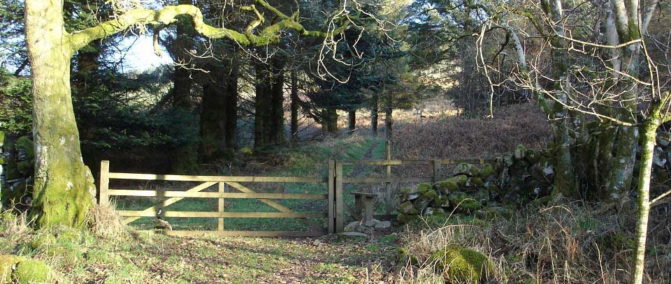
|
The image below is from the tourist
trail as it winds its way up through the
forest. The trail is good all the way. It
is a fair hike up to the top of the
woodland, and steep in places. The woodland
gives good shelter from any wind, in mid
December, I was in short sleeves.
|
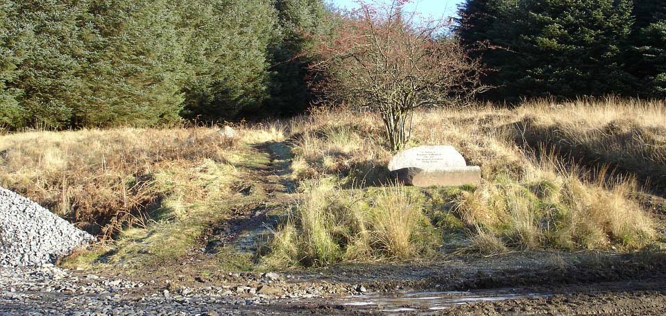
|
The image below is from about half way
up through the forest trail, crossing
straight over a forest road. The stone
memorial seat here is in honor of Rosemary
Pilkington 1911 - 1995, who did much to
established Glenure Forest.
You follow the tourist trail up past the
memorial.
|
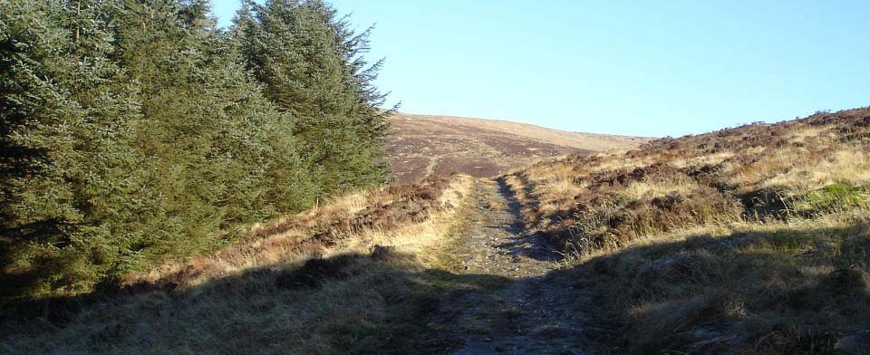
|
The image below is from where you emerge
from the forest, with the first clear views
of the hills.
|
|
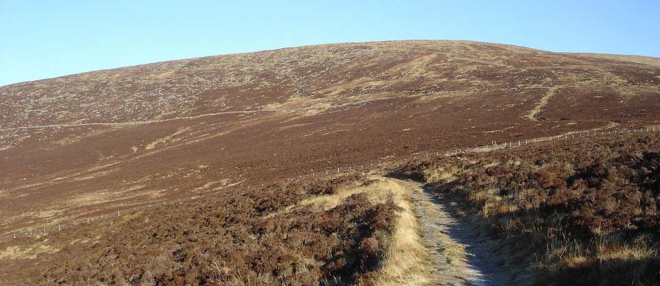
The image below is from just out of the
forest, looking at the tourist trail,
leading all the way to the top. There is a
fence down there with a stile over it, then
it is a fairly steep hike to the
summit.
|
|
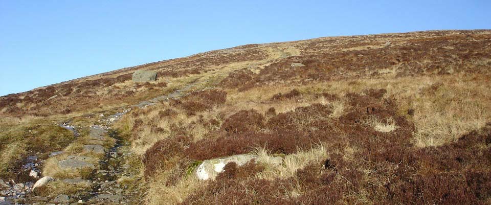
The image below is is from about two
thirds of the way up, passing a large
boulder.
|
|
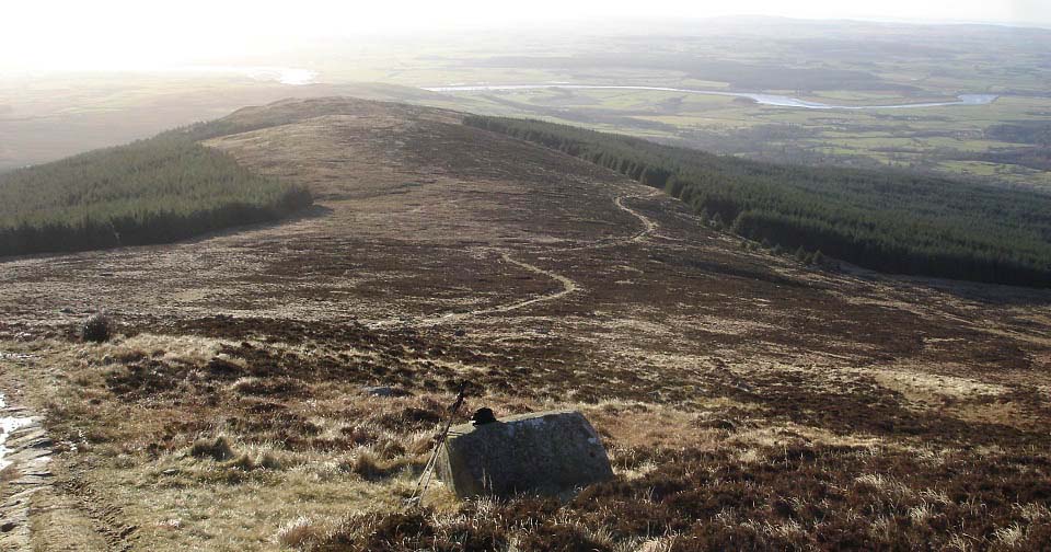
The image below is from the large
boulder, looking back down the tourist
trail. That is the river Cree down there,
running into Wigton Bay, the end of
Scotland.
A cold east wind was rolling over the
top by now, so it was on with the fleece,
tammy, and gloves before heading for the
summit. Had lunch at the stone here, as I
have found eating lunch at the top in
winter, leads to frozen fingers.
|
|
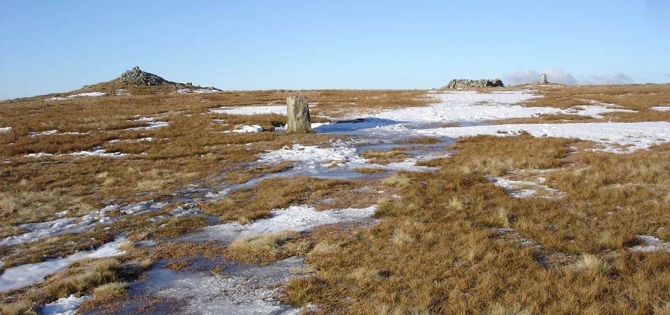
The image below is of the summit of
Cairnsmore of Fleet, when approaching from
the tourist trail. The first stone here is
an Aircraft Memorial, the cairn left,
shelter centre, and trig point right.
Large
Image.
|
|
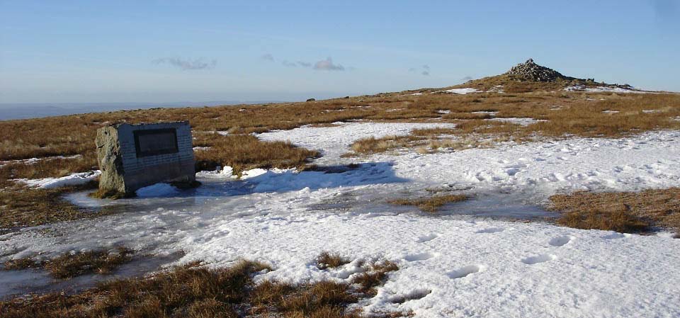
The image below is of the Memorial, in
honor of Airmen that lost their lives in
crashes around this hill. The earliest
crash was a Heinkel with four crew, that
crashed on the 8th August 1940. The most
recent, was a USAF McDonald Douglas Phantom
with two crew, that crashed on the 28th
March 1979.
|
|
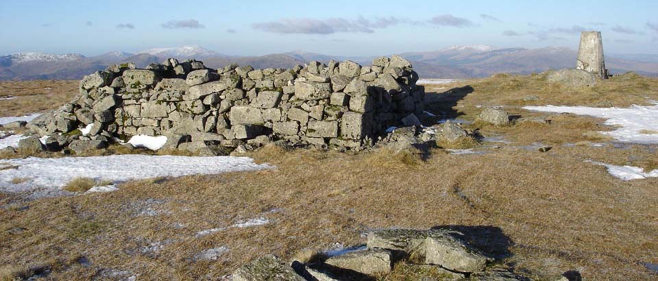
The image below is of the shelter
looking north with the Merrick above the
shelter, and Corserine between the shelter
and trig point.
If you walk about 100 yards north, you
get good views of the north side cliffs,
and the route over to the rocky 1,975 ft
Craignelder. There are cliffs on the north
side, and the east side of Cairnsmore of
Fleet, to watch out for is visibility os
poor.
|
|
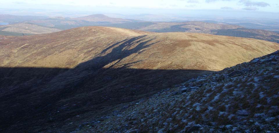
The image below is from Cairnsmore of
Fleet north side cliffs, looking northeast
at the route sweeping round to Craignelder.
The first hill on the road round is the
2,007 ft Meikle Mulltaggart.
|
|
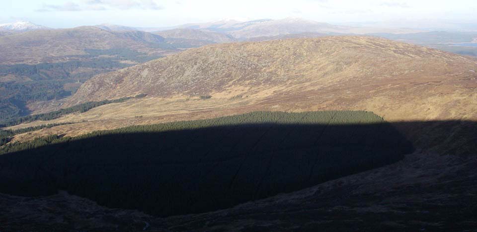
The image below is looking north from
Cairnsmore of Fleet north side cliffs to
Craignelder. You can see Murray's monument
down there, where there are two hiking car
parks. Some people hike over the whole
range here, by getting dropped off at
Murray's Monument, and getting picked up at
Cairnsmore House.
If you do the range from Cairnsmore
House to Murray's Monument, be careful
going down Craignelder, as there are cliffs
all the way to the bottom of that northwest
ridge. You have to go right down to the
north side trees before heading over to the
forest road, that leads to the car parks at
Murray's Monument.
|
|
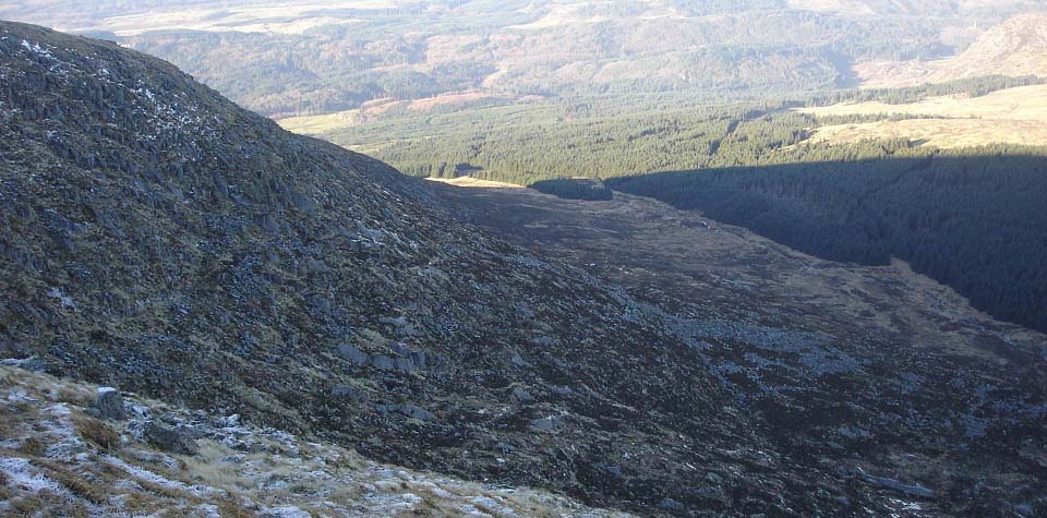
The image below is of the highest part
of Cairnsmore of Fleet north side cliffs.
Best take a compass with you, so if the
clouds roll in, you know what way is west
to get back down the tourist trail.
|
|
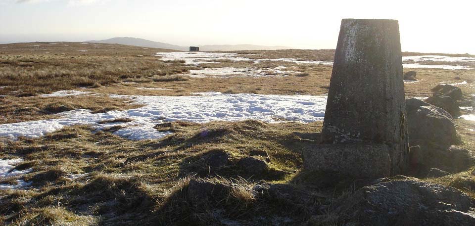
The image below is from the trig point
on Cairnsmore of Fleet, looking south and
west. The tourist trail heads back down
past the memorial to the west, and a faint
trail heads south, over to the left in this
image, to what looks like a cairn on the
south side of Cairnsmore of Fleet. There is
no cairn there, seems be be just a piece of
high ground.
|
|
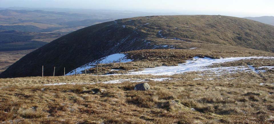
The image below is from the south side
of Cairnsmore of Fleet, looking at the
north side of the Knee of Cairnsmore. There
are fairly high cliffs on the east side of
the 2,155 ft Knee of Cairnsmore to look out
for if visibility is poor.
Large
Image.
|
|
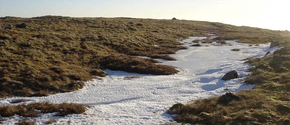
The image below is from approaching the
summit of the Knee of Cairnsmore.
|
|
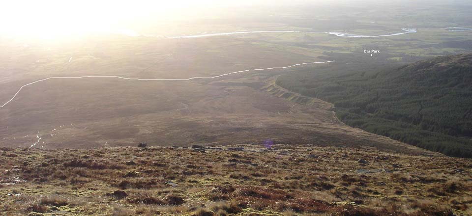
The image below is from the west side of
the Knee of Cairnsmore, looking down to the
old hill road leading back to Cairnsmore
House. I had hiked over to the west side
here to see where the road was. If you go
down the west side here, you will have
about half of a mile of the deep stuff to
go through to get to the road.
I headed back round to the south side,
where the route down is a lot smoother, and
takes you right to the hill road.
|
|
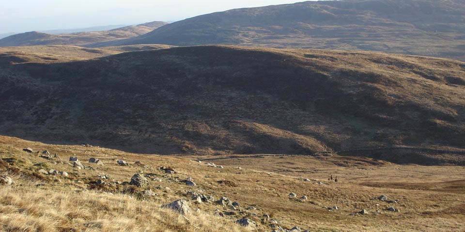
The image below is from the south side
of the Knee of Cairnsmore, looking down to
the old hill road. You go straight down
here to the road, then follow the road
right, to the west. Saw deer up above me
here, and these ones below as well.
|
|
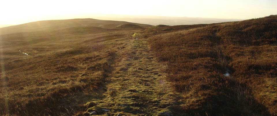
The image below is heading west along
the old hill road. This road leads all the
way back to Cairnsmore House. It is a fair
distance, but good going.
|
|
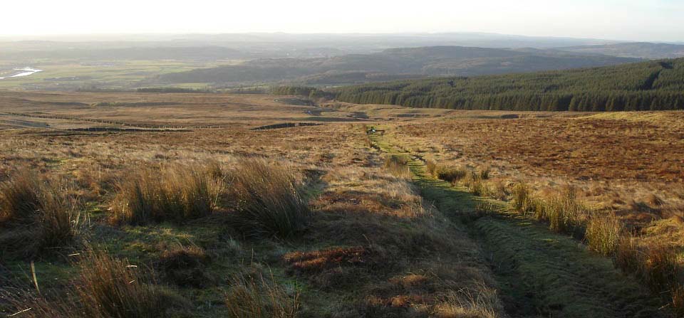
The image below is from the hill road,
looking down to where it eventually goes
through the woodland.
|
|
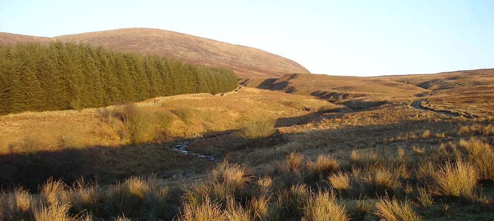
The image below is looking back up the
hill road, to the Knee of Cairnsmore west
and south sides. If you are hiking across
the whole range to Murray's Monument, this
may be the best route out, then over the
Knee of Cairnsmore, Cairnsmore of Fleet,
Meikle Mulltaggart, Craignelder, then down
to Murray's Monument. You either need to
get dropped off and picked up for that, or
use two cars.
Large
Image.
|
|
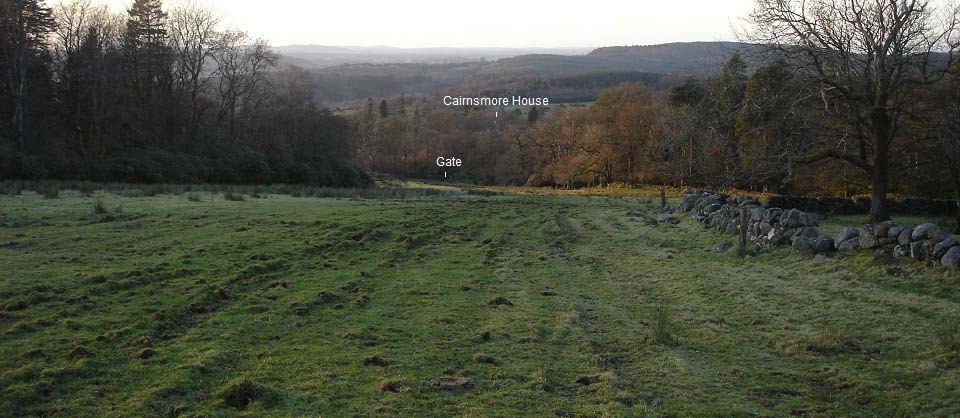
The image below is from where the hill
road reaches a field. This was the part I
was not sure about. I eventually noticed
there was a gate down to the right, from
where the road begins again.
|
|
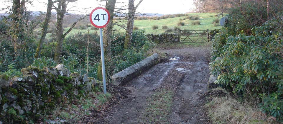
The image below is from back on the road
at the bottom of the field. The road winds
round here to the left, down to a white
cottage, round to the right, and along to
the waymarker at the short woodland walk,
just above Cairnsmore House. From there, it
is back down the same road to the car
park.
This is the only road down here, so you
cannot get lost?
|
|
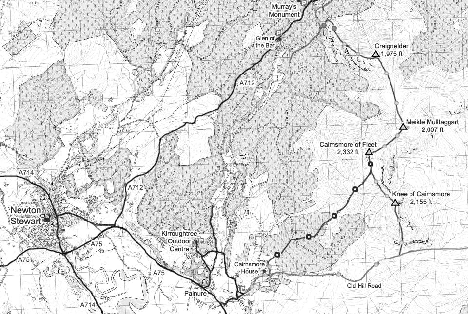
The Map below shows the hiking routes
for Cairnsmore of Fleet. The blue and white
dots show the tourist trail, green and
yellow fairly good trails, and green and
brown the rougher trails.
Craignelder Photo
Tour.
Google Road
Map . Change Newton Stewart to your
town or postcode to get driving
directions.
Make sure and take an Ordnance Survey
Map and Compass on these hikes, and know
how to use them, as in cloud, these
mountains can be deadly. In Winter, make
sure you have Crampons and an Ice Axe, and
know how to use them.
Hill Walking OS
Guide Map
Large Click On
Hiking Map of this Area.
|
|
The hike up the Tourist Trail to the top
of Cairnsmore of Fleet was a good fairly
stiff hike, taking about 2 hours to get to
the top. The trail is fairly easy to follow
with waymarkers here and there.
Look out for wildlife such as birds of
prey on the cliffs, red deer, low flying
fighter jets, and low flying military
transporters that amble their way up
through the valleys at about 200 feet off
the ground, going so slow, you wonder how
they stay in the air. It is a strange
feeling looking down on aircraft.
The tourist trail up and down averages
about 4 hours, back down over the Knee of
Cairnsmore averages about 5 hours, and the
hike across the whole range averages about
6 hours.
These are the furthest south of the
2,000 ft plus hills in southwest Scotland.
From these hills, you get great views of
the southern Scotland shoreline, and out
over the Irish Sea.
|
|
|
