|
An Interactive Click On Map of Southern Scotland
for Attractions, Activities, Mountains, Hills, Towns
and Accommodation.
RS Home
Page
|
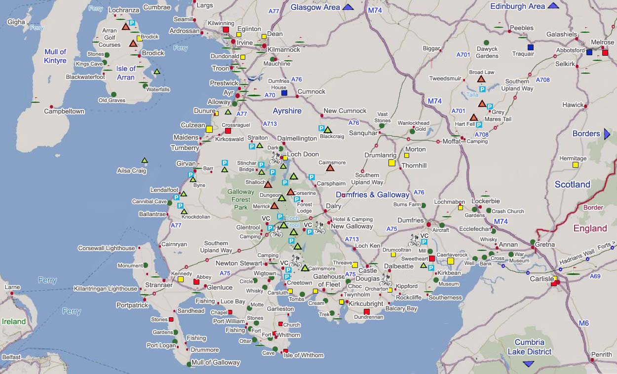
The map below shows the main attractions in
Southwest Scotland such as towns, mountains up to
2,866ft, golf courses, and historic attractions.
Visit the Golf Courses Page for links, maps and price
guides.
|
|
Click on the towns for information on that
town and accommodation, green dots for
attractions, VC for visitor centres, triangles
for hills/mountains, and golf flags for golf
clubs.
|
|